Purpose
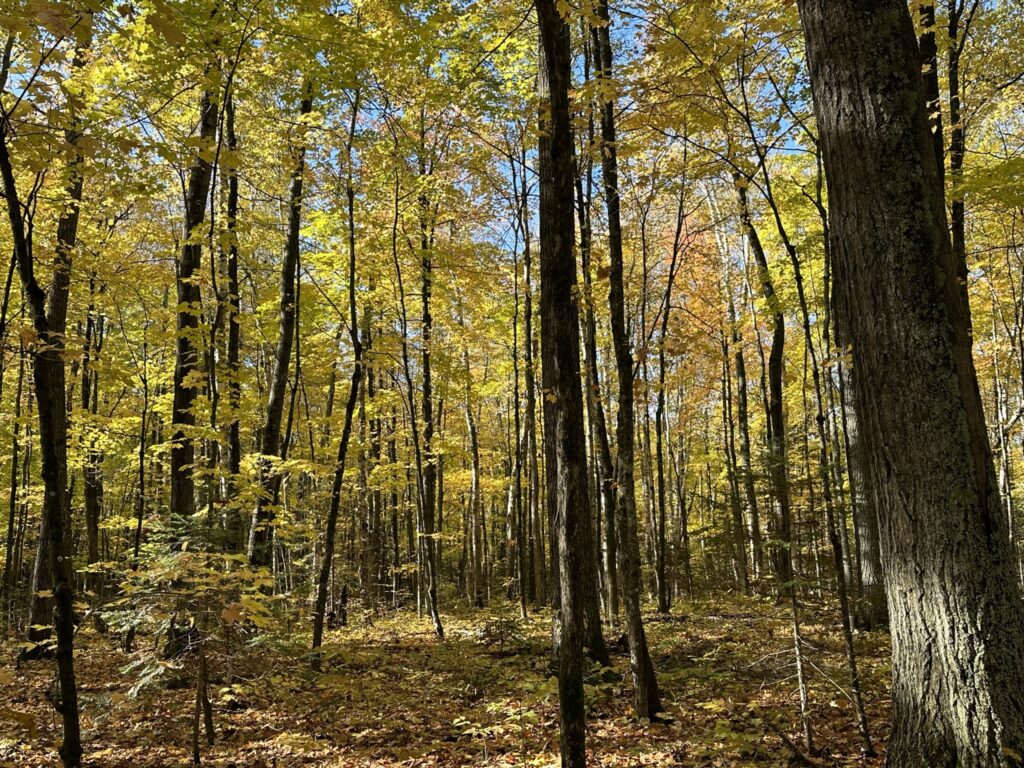
We leverage basic, intermediate and advanced GIS and remote sensing techniques to provide tailored support for land managers, enhancing decision-making for our natural resources in diverse landscapes and environments. Our goal is to provide affordable, quality service to those we support.
Services
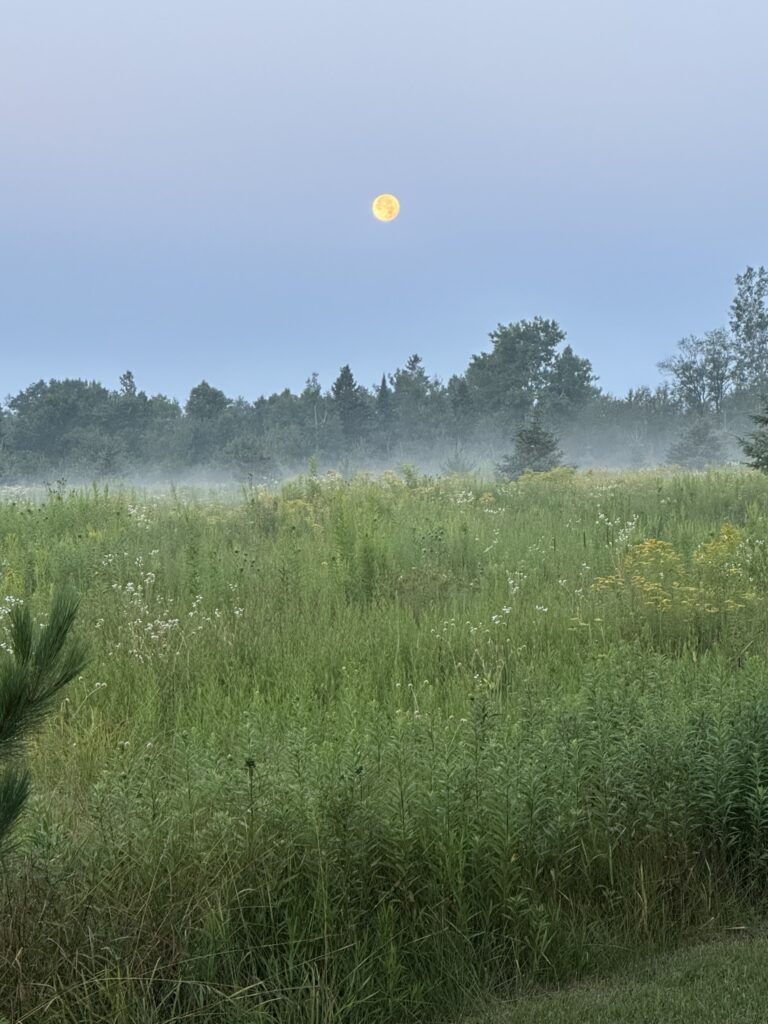
Analysis of geospatial data includes satellite and aerial imagery, LiDAR data, GIS data, and more. We can provide maps of storm or fire damage, survey for insect/disease damage, and other needs. See our Services page for more!
Scope
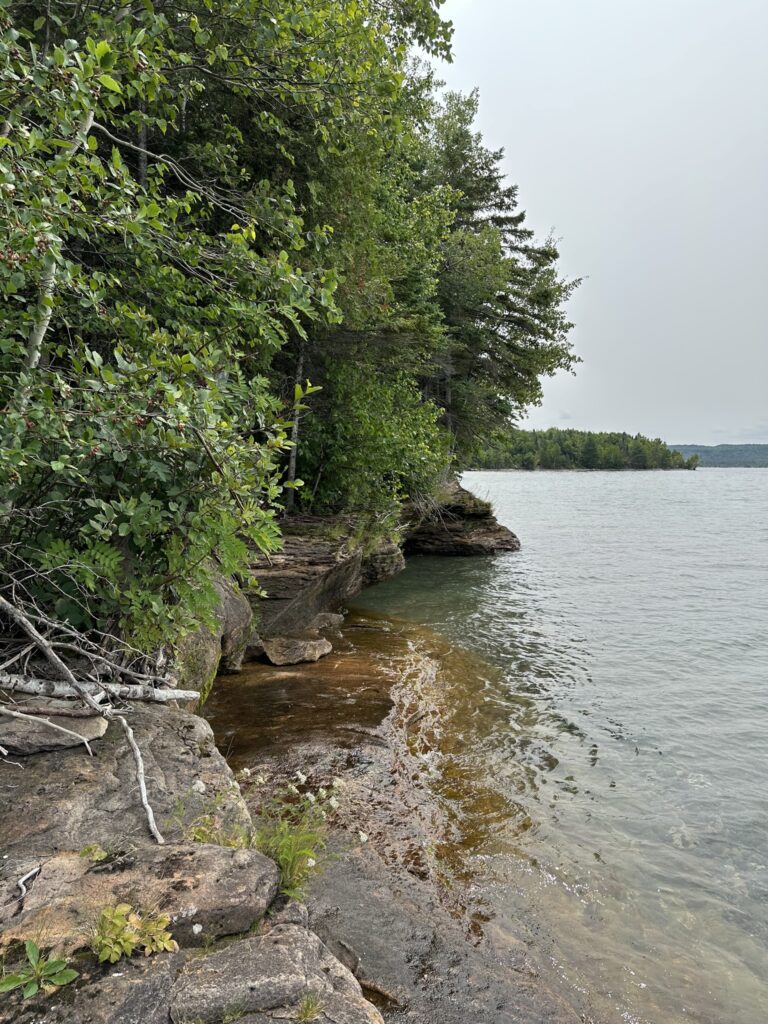
What do you need help with? Just ask! Our goal is to support ALL customers, regardless of organization size or budget. This makes us different from some companies that will only take on large, lucrative projects. But that doesn’t mean we can’t do large projects! For example, mapping storm damage across an entire county or portion of a state can usually be quickly assessed using satellite imagery. We can also do more fine-tuned analysis using high-resolution aerial imagery.
How Can We Help You?
Initial consultations are FREE! No obligations, no spam, just answers.