Geospatial Support
We specialize in remote sensing projects, particularly for forestry applications. However, we are capable of accommodating some GIS requests or other geospatial projects. If we can help, we will!
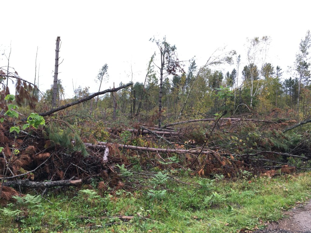
Storm Damage Mapping
Windthrow, tornadoes, hurricane damage, ice damage
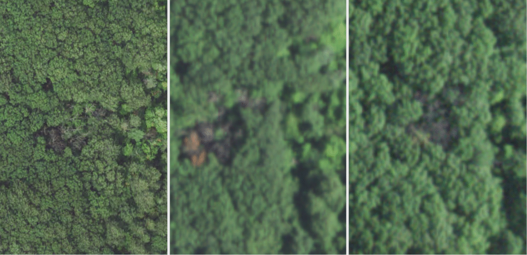
Insect and Disease Mapping
Spongy moth outbreaks, oak wilt
Special Projects
Have something unique? Ask us!
Let Us Help!
Consultations are FREE! No obligations, no spam, just answers.